Virtual Navigations
JF44
Since 2008 I am a member of The RienKaNou Ouatelsse
Yacht club "Regatta For Homs and Girls", the biggest (virtual) community of crazy birds whose nests are in the Crozet Island far in the South.
Share our passion for Grumeau bashing and Vodka Tromeul ® drinking :>))
Regatta and races on SailOnLine
SailOnLine, firt steps
Between two Vendée virtual Globes on Virtual Regatta, I practise occasionally virtual sailing on other games...
SailOnLine has many advantages, of which that to benefit from a restricted but very active community of virtual sailors of good level.
The handling of SOL (Sail On Line) is not difficult, the interface is effective, fast and well documented.
On the other hand during the races near the shore it's difficult to leave the game a few minutes if we are anxious to make honorable performances.
It is really too very time-consuming.
Other difficulty, winds change constantly, plan a route is very risky with the only instruments of the interface.
But the community developed many tools to make the game much less requiring and finally
more interesting.
Having a little nosed about, have asked questions on the forum and in the chats of the game
I finally set up a processing chain which allows me to limit my online presence.
I spend now more time to polish up my strategy that to pilot the sailboat, and it is a true bonus.
Used tools and sequence of processings
To navigate with SailonLine becomes a real pleasure since I managed to settle all the processing chain!
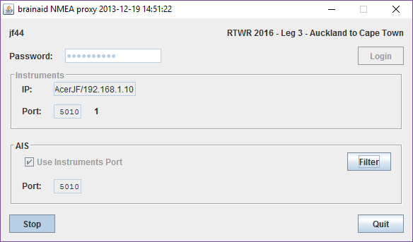
- The NMEA server of the Brainaid's Toolbox
gets back the data of SailOnLine server and sends them to a local TCP/IP server.

-
N.B. You can skip this step. NavMonPc is not required since you can get NMEA sentances directly from Brainaid's NMEA Server to qtVlm NMEA TCP/IP port.
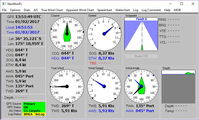
The software NavMonPc (Windows only)

sends these data toward a virtual serial port (activated with Virtual Serial Ports Emulator on Windows 10).

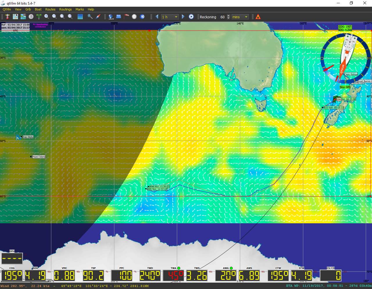
- Then the weather router qtVLM in real mode (not the game mode), with the right settings (see below) displays the GPS position of the boat, polar, GRIB, waypoints files and barriers for the chosen course.

- In the qtVlm software the routing function allows to compute an optimal route for 7 days by taking into account the barrier by 60° the South.
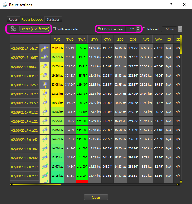
- Exportation of the detailled route (CSV qtVLM format)

- Conversion of that route to a Delayed Command (DC) list for SailOnLine with Kroppyer' QTVLM route converter
- (Optional) List of commands simplification. On a big oceanic crossing we can round off the COG and TWA commands to the degree to avoid the inflation of DC...
- Export these commands to SailOnLine with Brainaid's Toolbox

From now on the only thing left to do is verify at each new GRIB (4 times a day) that the road is correct
according to the meteo files.
To check the "real route" of your boat use DC Checker

Screenshots

The selected list of friend boats are displayed in qtVlm by the AIS function.
Be carefull about qtVlm settings!
These are setttings for qtVlm if you wantexport routes to SailOnLine


Credits
(c)JF 2016-2017


